

Drone, UAV LiDAR & Reality Capture in Zambia
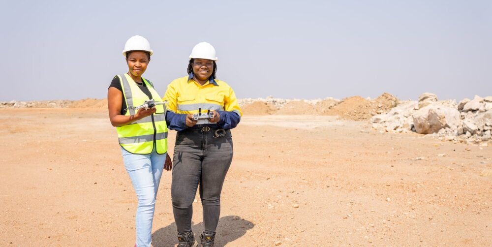
LiDAR sees the ground through vegetation that defeats photogrammetry; photogrammetry gives true orthomosaics and texture. We fly whichever the question needs, or both over common control, and scan structures and spaces aerial methods can’t reach.
Our principal aircraft and sensors are Radiant-owned, so mobilisation doesn’t wait on hire.
Our Services Include
Our UAV, LiDAR and reality capture services include:
Solutions & Benefits
The right sensor for the question, flown on control you can trace.
Terrain
Structures
Heritage
DJI Matrice 400 with Zenmuse L2, with missions designed at 50 points/m² and above where conditions support it.
CHCNAV RS10 SLAM scanner with GNSS-RTK, as in the three-level footbridge scan at Manda Hill, Lusaka.
Non-contact recording of heritage sites and rock art that leaves the site undisturbed.
Benefit Of Service
Radiant-owned aircraft and sensors
Centimetre-level vertical accuracy from UAV LiDAR
Photogrammetry at two to three times GSD horizontally
Accuracy checked on independent points
LiDAR and photogrammetry on common control
Licensed, internationally accredited pilots
Stats & Charts
Unit: Million Dollars ( USD )
Frequently Asked Questions
Common questions about accuracy, deliverables and getting started.
How accurate will the results be?
Every project begins with a written statement of datum, projection, control and target accuracy, agreed before mobilisation, and every deliverable carries an accuracy statement describing what was achieved and how it was verified.
What formats will I receive?
Your working formats, issued in open standards (GeoTIFF, LAS/LAZ, SHP, GeoPackage, DWG and DXF), so you own the data and can move it freely.
How do you check quality?
Independent check observations on control, documented calibration, and a two-stage review of every deliverable: a technical check by a second practitioner, then a release review against the agreed specification.
What should I send to get a proposal?
The site or alignment, the decision the data has to support, the approximate area or length, the accuracy you need if you know it, and your programme dates.
Get In Touch
Ask for our company profile, capability statement or a project reference.

Let’s Start Work Together
+260 964 186 768
22 Mwatusanga Road, Woodlands, Lusaka
info@radiantengineeringltd.com
Mon - Sat: 7.30am - 17.30pm