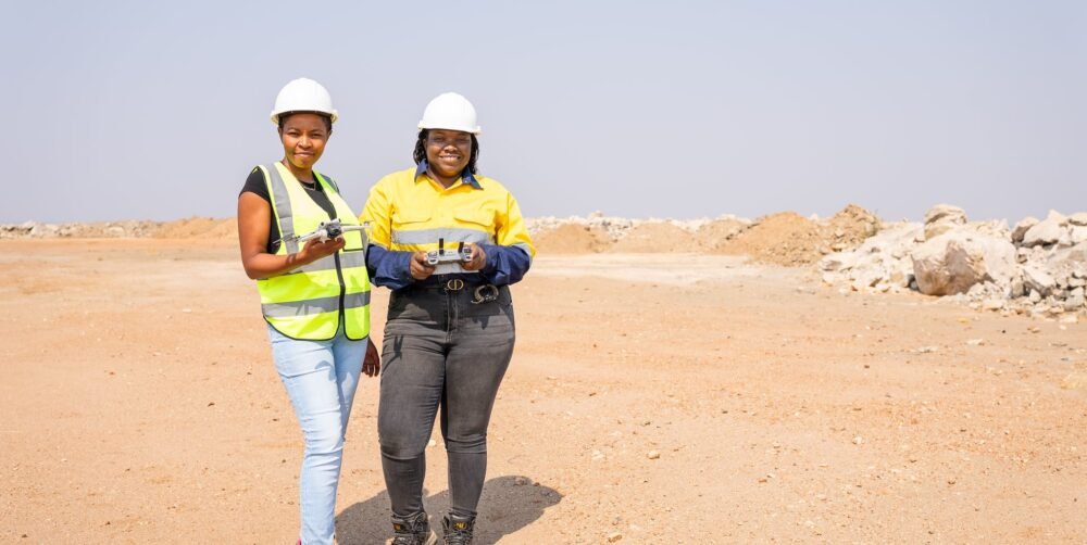
Remote Sensing & GeoAI Services in Zambia
Radiant Engineering Limited provides remote sensing and GeoAI services in Zambia, helping organisations extract useful information from Earth observation data, imagery and spatial datasets.
We combine optical, multispectral and Synthetic Aperture Radar (SAR) data acquisition and classification with machine learning and geospatial analytics to support land-cover monitoring, change detection, encroachment identification, environmental assessment, agriculture and infrastructure analysis.
Our approach goes beyond collecting imagery. We process and interpret spatial information to help clients understand what is happening across a site, landscape, corridor, farm or wider area.
WE MAKE THE GROUND LEGIBLE.
Radiant’s Remote Sensing & GeoAI services form part of six integrated technical disciplines. They can be commissioned as a standalone service or integrated with GIS, UAV LiDAR, photogrammetry, surveying and other geospatial capabilities where the project requires it.
OUR SERVICES INCLUDE
REMOTE SENSING & GEOAI ANALYTICS
REMOTE SENSING & GEOAI ANALYTICS
SURVEY TECHNOLOGY & EQUIPMENT
THE RIGHT INSTRUMENT FOR THE QUESTION
Radiant Engineering operates a range of ground-survey systems and supporting technology.
Meridian GNSS base and rover
Multi-constellation RTK pair supporting:
- Static GNSS control
- RTK detail
- Setting out
- Boundary and beacon survey
- Geophysical station positioning
- Sample station positioning
CHC total station with onboard computation
Used for:
- Engineering detail surveys
- Construction control
- As-built verification
- Monitoring epochs
- Precise setting out
Leica NA720 automatic level
Used for:
- Benchmark transfer
- Settlement monitoring
- Construction level control
The profile specifies a 2.0 mm standard deviation per double-run kilometre for this instrument under the stated conditions.
EPL RL-200 rotating construction laser with levelling detector
Used for:
- Slab levels
- Formwork levels
- Platform levels
- Drainage falls
- Gradients
- Level transfer across working sites
Benefit Of Service
Land and engineering surveying can support different stages of a project, from initial planning through construction, operation and monitoring.
Working Process
Id amet illo eos aspernatur omnis in obcaecati expedita est consequatur beatae ea quibusdam praesentium sed enim possimus non quia mollitia. Et fuga doloribus aut quos quasi aut maxime saepe et accusamus.
Frequently Asked Questions
What land surveying services does Radiant Engineering provide?
Radiant provides topographic and detail surveys, control networks, precise levelling, setting out, as-built and dimensional control, route and corridor surveys, boundary determination, deformation monitoring and settlement monitoring.
Does Radiant provide engineering surveying in Zambia?
Does Radiant provide topographic surveys?
Can Radiant establish survey control?
Does Radiant provide construction setting out?
Does Radiant provide as-built surveys?
Does Radiant provide precise levelling?
Does Radiant provide mining surveys?