Radiant Engineering Limited

Mining & Exploration

How We Support Mining & Exploration

Mining asks the same ground different questions over its life: where to explore, where to drill, how much material sits in a stockpile, and whether a closed site is recovering. We answer each one on a single control framework, so results from greenfield baselines through to closure monitoring stay comparable.

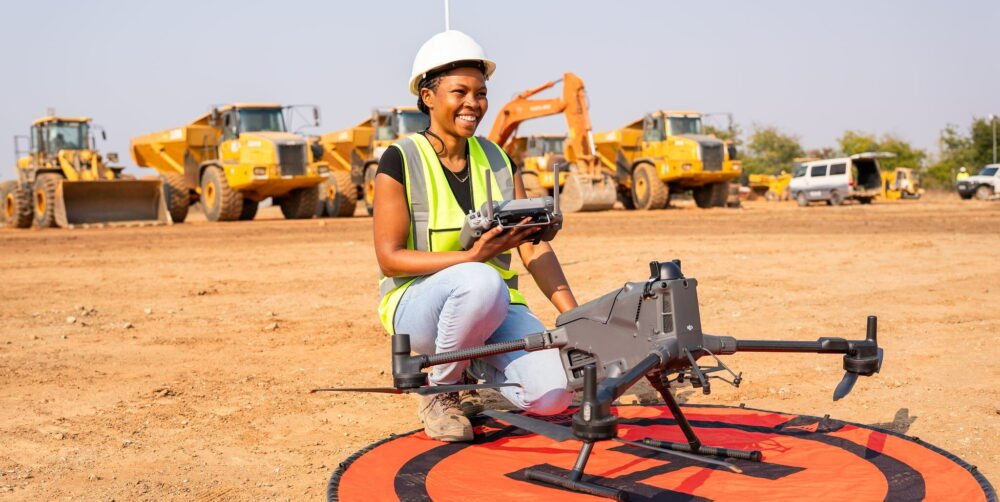
Airborne magnetics are flown on Radiant’s own Geometrics MagArrow II, often in the same mobilisation as LiDAR, and stockpile volumes are reported with computed uncertainty.

What We Deliver

For mining & exploration clients, our work includes:

Where We Add Value

One control framework from first baseline to closure.

Exploration Operations Closure
Magnetics flown on a LiDAR-derived drape for a consistent sensor height, with ranked targets carried into drill-pad planning.
Stockpile volumes reported with computed uncertainty (typically 1–3% where the surface is well defined), using the same mark and procedure every survey.
Pre-disturbance baselines captured to survey standard, so rehabilitation and change can be proven rather than argued.

Why Clients Choose Radiant

Magnetics and LiDAR in one mobilisation
Datasets that genuinely overlay
Historic sampling reconciled to one datum
Volumes reported with computed uncertainty
Same procedure every survey
Interpretation by geoscientists

Related Work

Selected projects and the services behind them.

Working Process

Every engagement follows the same stages, scaled to the size of the job.

1.Define & Design
2.Control & Acquire
3.Process, Deliver & Support

Frequently Asked Questions

Common questions about accuracy, deliverables and getting started.

How accurate will the results be?
Every project begins with a written statement of datum, projection, control and target accuracy, agreed before mobilisation, and every deliverable carries an accuracy statement describing what was achieved and how it was verified.
What formats will I receive?
Your working formats, issued in open standards (GeoTIFF, LAS/LAZ, SHP, GeoPackage, DWG and DXF), so you own the data and can move it freely.
How do you check quality?
Independent check observations on control, documented calibration, and a two-stage review of every deliverable: a technical check by a second practitioner, then a release review against the agreed specification.
What should I send to get a proposal?
The site or alignment, the decision the data has to support, the approximate area or length, the accuracy you need if you know it, and your programme dates.

Connect With Radiant.

Tell us about the site, the decision the data has to support and your programme dates. We’ll come back with the approach, the timeframe and the price.