





LAND & ENGINEERING SURVEYING
Topographic and detail surveys, control networks, precise levelling, setting out, as-built verification, route and corridor surveys, boundary determination
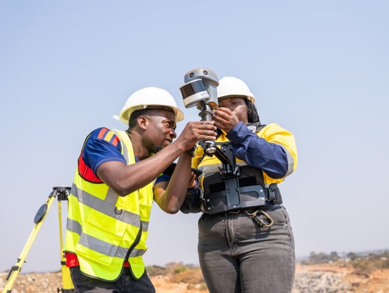
GEOSPATIAL & GIS
Spatial database design, GIS analysis, cartography, suitability modelling, catchment analysis, land-tenure mapping, web GIS, dashboards and asset registers.
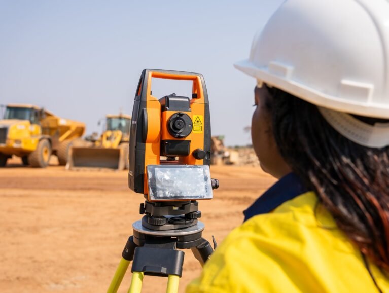
REMOTE SENSING & GEOAI
Optical, multispectral and SAR acquisition, machine learning, feature detection, encroachment identification, change detection, vegetation analysis and land-cover monitoring.
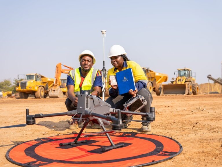
UAV, LiDAR & REALITY CAPTURE
Airborne LiDAR, high-resolution photogrammetry, true orthomosaics, 3D models, terrestrial laser scanning, thermal inspection and technical aerial video.
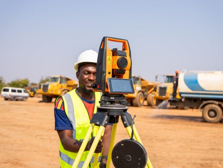
GEOPHYSICS & GEOCHEMISTRY
Ground and airborne magnetic surveying, geochemical sampling and integrated geoscience interpretation supporting exploration, structural understanding and target generation.
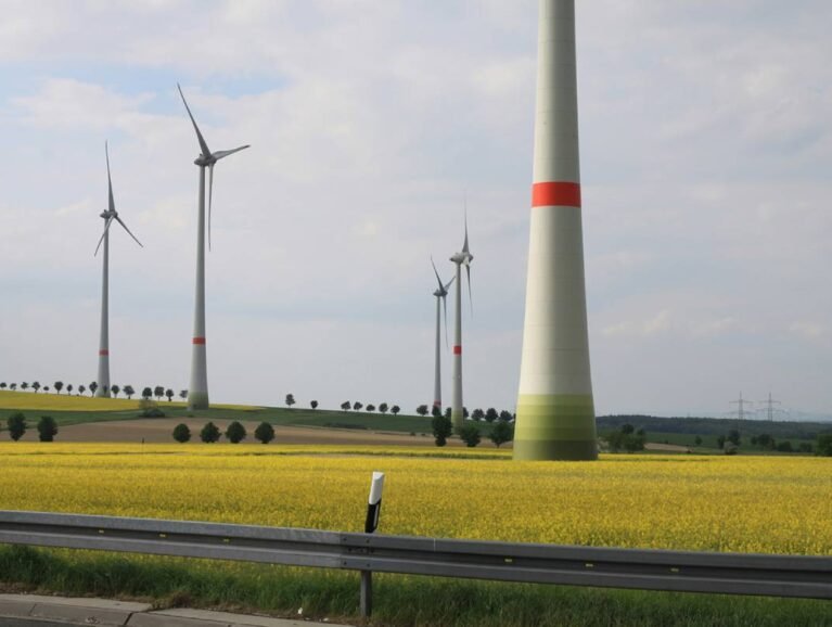
ENVIRONMENT & WATER
Catchment and floodplain modelling, river and reservoir surveys, surface-water monitoring, climate-risk mapping, impact assessment support and resettlement enumeration.
Steel Distribution
Slitting is a metal manufacturing process which is used to cut a wide coil of metal into a number of narrower coils. The wide coils…
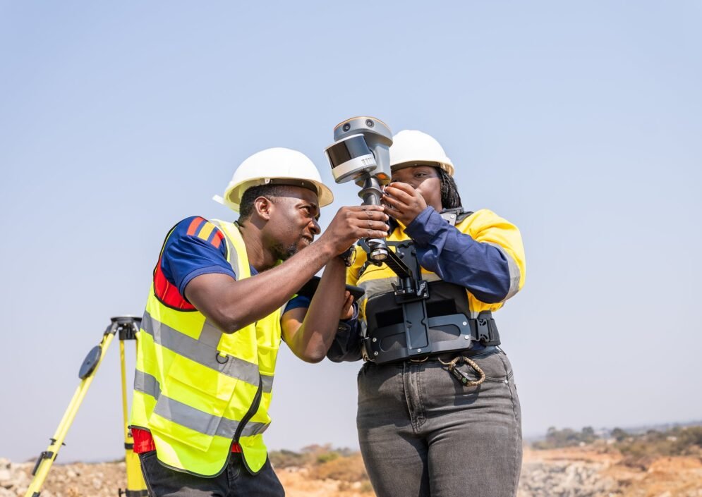

Metal Fabricators
Slitting is a metal manufacturing process which is used to cut a wide coil of metal into a number of narrower coils. The wide coils…
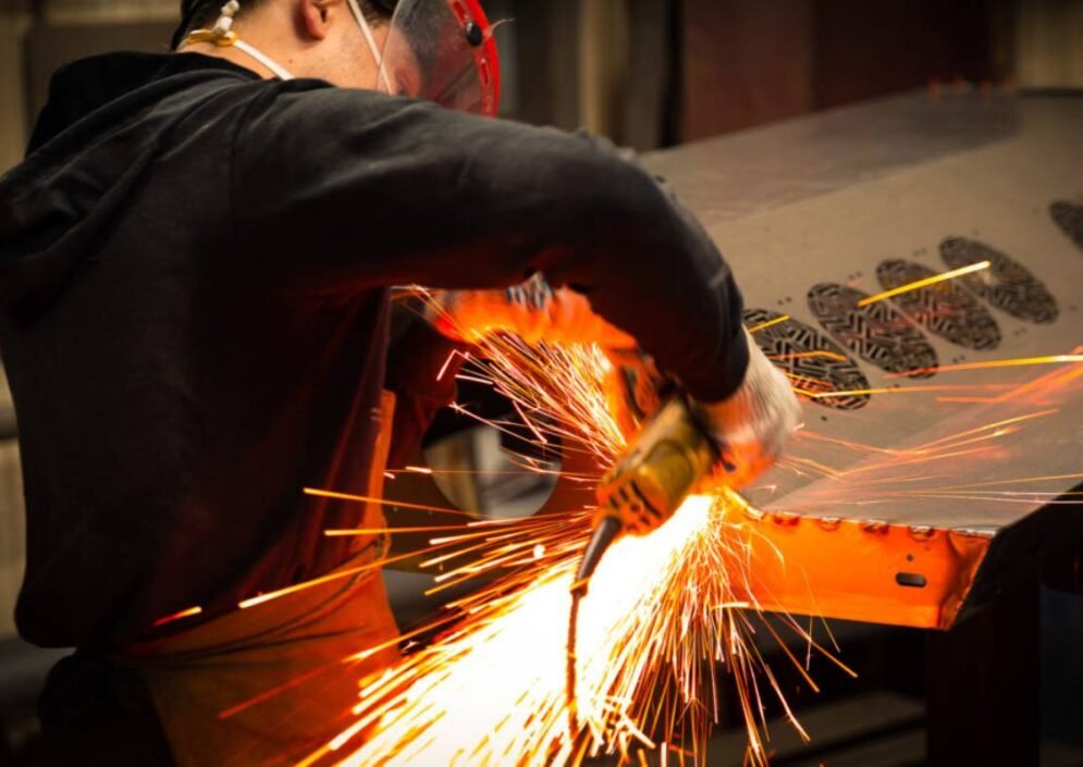

Machinery & Equipment
Slitting is a metal manufacturing process which is used to cut a wide coil of metal into a number of narrower coils. The wide coils…


Plate Processing
Slitting is a metal manufacturing process which is used to cut a wide coil of metal into a number of narrower coils. The wide coils…


Process Equipment
Slitting is a metal manufacturing process which is used to cut a wide coil of metal into a number of narrower coils. The wide coils…


Offshore & Energy
Slitting is a metal manufacturing process which is used to cut a wide coil of metal into a number of narrower coils. The wide coils…



01
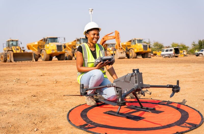
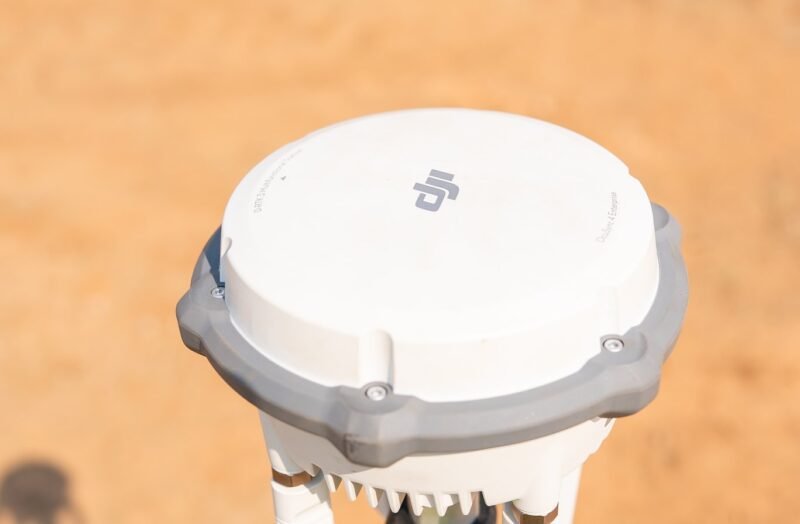
UAV LiDAR & Photogrammetry
High-resolution aerial mapping for terrain analysis, exploration, corridors, site documentation and inspection.
02
GeoAI & Automated Processing
Classification, detection, change monitoring, infrastructure inspection and large-scale spatial analysis.
03
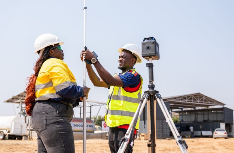
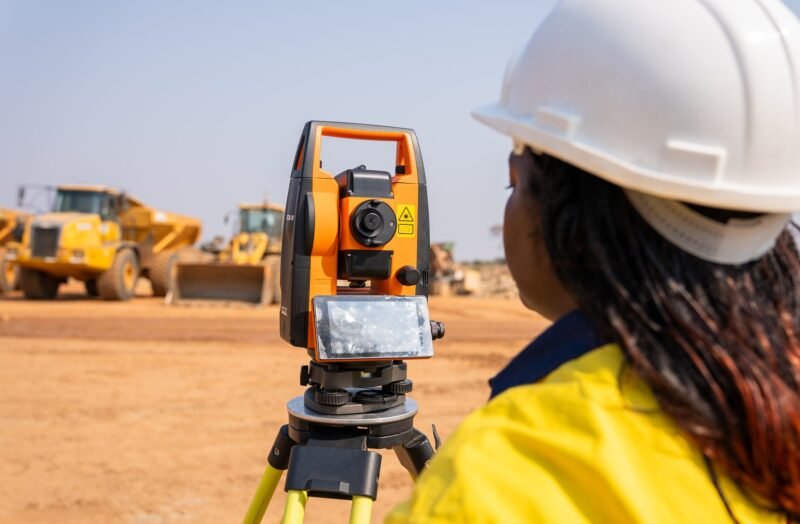
GNSS & Total Stations
Survey control, boundary verification, setting-out, construction control and monitoring.
04
Terrestrial Scanning, Magnetics & Geochemistry
Advanced scanning and geoscience for detailed site assessment, structural analysis and exploration targeting.

Completion Date:
Location:
Zambian Copperbelt
Materials:
High-density UAV LiDAR flown on RTK-fixed control over mopane woodland that defeats photogrammetry; ground magnetics and XRF geochemistry acquired over the same footprint and the same control framework.
Completion Date:
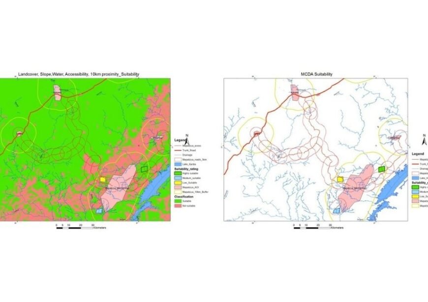
2024
Location:
Zimba and Kalomo Districts, Southern Province
Materials:
Spatial analysis, modelling and outputs

Completion Date:
April 20, 2018
Location:
Wauseon, Ohio
Materials:
Carbon Steel, Bar Grating, Handrail Pipe, Flat Bar
all projects
Banking & Finance
Exploration
Geospatial
GIS
Mining

Completion Date:
Location:
Zambian Copperbelt
Materials:
High-density UAV LiDAR flown on RTK-fixed control over mopane woodland that defeats photogrammetry; ground magnetics and XRF geochemistry acquired over the same footprint and the same control framework.
Completion Date:
2024
Location:
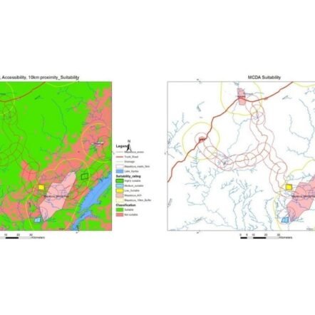
Zimba and Kalomo Districts, Southern Province
Materials:
Spatial analysis, modelling and outputs

Completion Date:
April 20, 2018
Location:
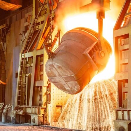
Wauseon, Ohio
Materials:
Carbon Steel, Bar Grating, Handrail Pipe, Flat Bar
Completion Date:
April 20, 2018
Location:
Wauseon, Ohio
Materials:
Carbon Steel, Bar Grating, Handrail Pipe, Flat Bar

Completion Date:
April 20, 2018
Location:
Wauseon, Ohio
Materials:
Carbon Steel, Bar Grating, Handrail Pipe, Flat Bar

Completion Date:
April 20, 2018
Location:
Wauseon, Ohio
Materials:
Carbon Steel, Bar Grating, Handrail Pipe, Flat Bar

28
Feb
25

Cybersecurity Matters Most in Automation Deployments
Quisque consectetur purus ut suscipit faucibus. Sed at ornare ligula. Quisque dignissim justo arcu, ut viverra elit venenatis, Pellentesque leo…
28
Feb
25

Automation Advancements: Redefining Efficiency
Quisque consectetur purus ut suscipit faucibus. Sed at ornare ligula. Quisque dignissim justo arcu, ut viverra elit venenatis, Pellentesque leo…
28
Feb
25

Sustainable Industrial Solutions: How Companies Are Going Green
Quisque consectetur purus ut suscipit faucibus. Sed at ornare ligula. Quisque dignissim justo arcu, ut viverra elit venenatis, Pellentesque leo…
21
Dec
24

Why Cybersecurity Is Critical When mplementing Automation
Quisque consectetur purus ut suscipit faucibus. Sed at ornare ligula. Quisque dignissim justo arcu, ut viverra elit venenatis, Pellentesque leo…
21
Dec
24

How to Keep Sales Up Even After the Holiday Rush
Quisque consectetur purus ut suscipit faucibus. Sed at ornare ligula. Quisque dignissim justo arcu, ut viverra elit venenatis, Pellentesque leo…
21
Dec
24

Industrial Batteries Market Expected to Exceed $30B by 2030
Quisque consectetur purus ut suscipit faucibus. Sed at ornare ligula. Quisque dignissim justo arcu, ut viverra elit venenatis, Pellentesque leo…