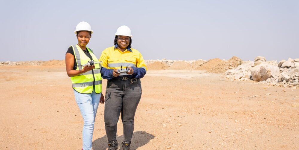

Remote Sensing & GeoAI Services in Zambia
Corridor-scale and landscape-scale datasets are too big to review by eye. We use machine learning for the volume problems (detection, classification and change) and concentrate expert review on the exceptions.
Interpretation is done by people who know the subject, not just the sensor: engineers, geologists and a plant scientist.
Our Services Include
Our remote sensing and GeoAI services include:
Solutions & Benefits
GeoAI applied where it improves the speed, consistency or usefulness of the analysis.
Infrastructure
Agriculture
Environment
Encroachment along wayleaves and boundaries, and defect and condition flagging across long linear assets.
Repeat flights on a fixed frame, read field by field by a plant scientist, as for Chalav Farms.
Change detection between epochs and disturbance monitoring, built on baselines captured to survey standard.
Benefit Of Service
Faster review of large datasets
Repeatable, version-controlled workflows
Expert review concentrated on exceptions
Interpretation by subject specialists
Consistent results between reporting periods
Outputs in open standards
Stats & Charts
Unit: Million Dollars ( USD )
Frequently Asked Questions
Common questions about accuracy, deliverables and getting started.
How accurate will the results be?
Every project begins with a written statement of datum, projection, control and target accuracy, agreed before mobilisation, and every deliverable carries an accuracy statement describing what was achieved and how it was verified.
What formats will I receive?
Your working formats, issued in open standards (GeoTIFF, LAS/LAZ, SHP, GeoPackage, DWG and DXF), so you own the data and can move it freely.
How do you check quality?
Independent check observations on control, documented calibration, and a two-stage review of every deliverable: a technical check by a second practitioner, then a release review against the agreed specification.
What should I send to get a proposal?
The site or alignment, the decision the data has to support, the approximate area or length, the accuracy you need if you know it, and your programme dates.
Get In Touch
Ask for our company profile, capability statement or a project reference.

Let’s Start Work Together
+260 964 186 768
22 Mwatusanga Road, Woodlands, Lusaka
info@radiantengineeringltd.com
Mon - Sat: 7.30am - 17.30pm