


all projects
Agriculture
Banking & Finance
Construction
Exploration
Geospatial
Mining
Structures
Training
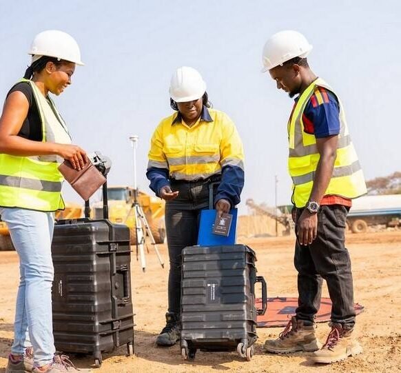
A LiDAR surveying course designed and delivered for Mamba Energy Limited.
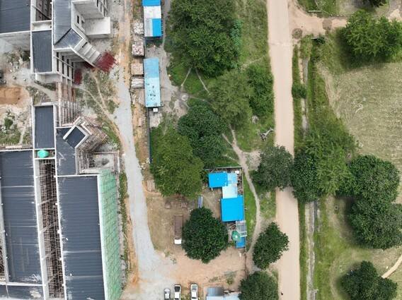
Ongoing crop and pasture health monitoring for Chalav Farms.

A three-level scan of a truss footbridge over the Great East Road at Manda Hill,…
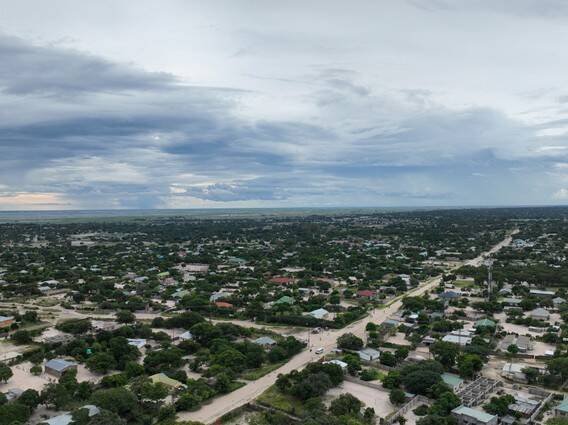
A topographic survey over a 2,999-hectare priority exploration block west of Chililabombwe for Konkula Ore…
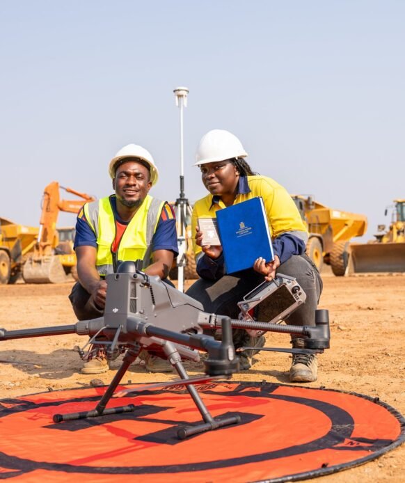
An airborne magnetic and LiDAR survey over about 2,000 hectares of wooded ground in Mushindamo…

A full set of magnetic enhancement grids produced for an exploration client in Zambia.

Road marking and staking out across the Mongu Housing Development, set out on site from…
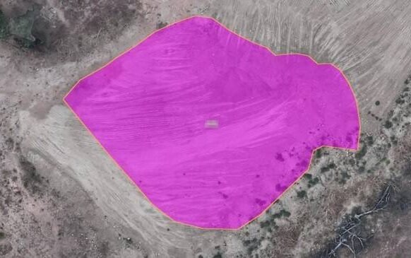
Five stockpiles on three sites at an operating mine near Mumbwa, each flown and processed…
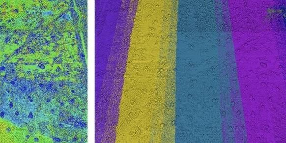
LiDAR, magnetics and geochemistry were acquired over a common control framework across vegetated exploration terrain.…

A multi-criteria site selection study for a new settlement serving a lithium mining area at…
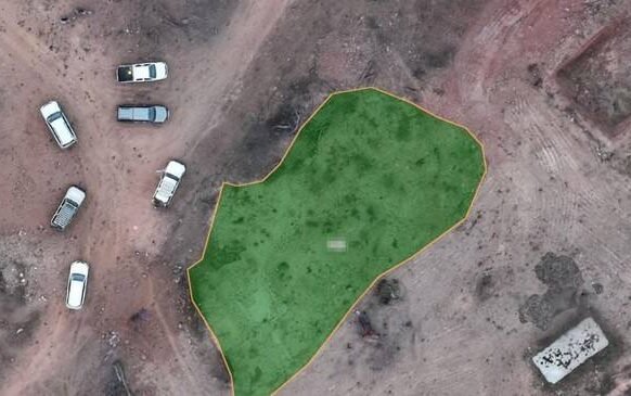
An independent check of whether the boundary held on paper matched the boundary on the…