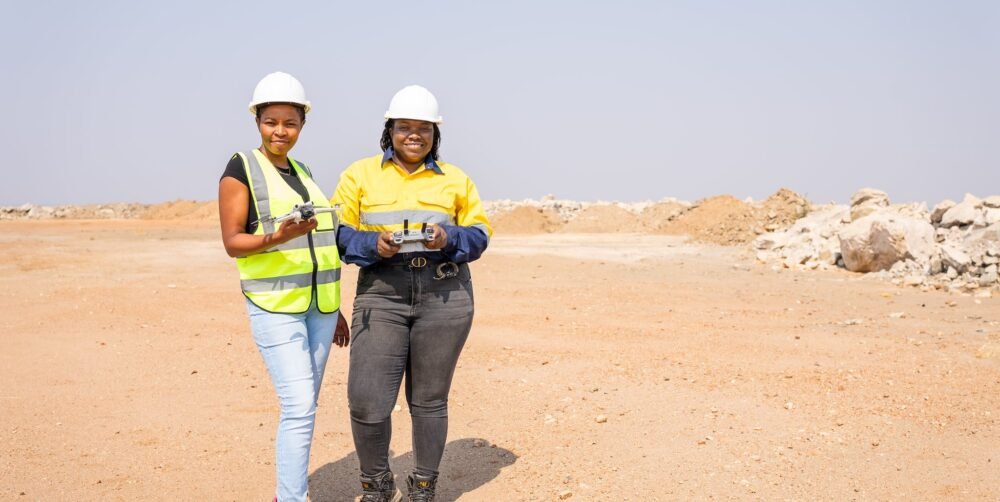
TURN LOCATION INTO INTELLIGENCE
Radiant Engineering provides professional geospatial and GIS services in Zambia, transforming spatial data into clear information that supports planning, investment, engineering, land management and operational decisions.
Our Geospatial Information & GIS discipline covers spatial database design and migration, base and thematic mapping, cartographic production, spatial modelling, Web GIS, story maps, dashboards, asset registers, land tenure mapping, community mapping, public health spatial support and asset verification for banking and finance.
Our approach starts with the decision that the data needs to support. We then design the spatial information workflow, manage the data, analyse it and present the result in a form that clients can use directly.
WE MAKE THE GROUND LEGIBLE.
Radiant’s Geospatial Information & GIS services form one of six integrated technical disciplines and can be commissioned as a single component, as part of a larger programme or as an end-to-end campaign.
HOW CAN WE HELP?
GEOSPATIAL DATA BUILT FOR DECISION-MAKING
A GIS project should produce more than a map. It should help someone answer a question.
Where should a development be located?
Which assets are where?
Which communities or facilities are accessible?
Which areas are suitable for a particular use?
How does a catchment or exposure area behave?
Which assets have been physically verified?
How can a large spatial dataset be maintained and accessed over time?
Radiant Engineering builds geospatial workflows around these decisions.
We combine spatial data management, mapping, analysis and digital GIS platforms to turn location-based information into a usable decision-support system.
Our Geospatial Information & GIS capability includes four core service areas:
LAND TENURE & COMMUNITY MAPPING
PUBLIC HEALTH SPATIAL SUPPORT
ASSET VERIFICATION FOR BANKING & FINANCE
OUR GEOSPATIAL & GIS SERVICES
SPATIAL DATABASE DESIGN & MIGRATION
A reliable GIS begins with a reliable data structure.
Radiant can design spatial databases around the information a project needs to manage, analyse and update. We also support database migration, helping organisations move existing spatial information into a more structured environment.
The objective is not simply to store spatial data, but to create an information structure that can support analysis, mapping, reporting and future updates.
BASE & THEMATIC MAPPING
We produce spatial information that makes the physical and operational characteristics of an area easier to understand.
Base mapping establishes the geographic foundation of a project, while thematic mapping focuses on specific information or relationships within that geography.
Applications can include project planning, land management, infrastructure, environmental work, development planning and spatial decision-making.
CARTOGRAPHIC PRODUCTION
Good spatial analysis still needs to be communicated clearly.
Radiant produces cartographic outputs designed around the intended decision and audience, ensuring that complex spatial information can be interpreted by technical teams, managers, institutions and decision-makers.
Maps can form part of wider GIS databases, reports, planning documents, dashboards and digital platforms.
Where several geographic factors need to be considered together, GIS can turn individual datasets into a structured decision model.
Radiant provides:
- Suitability modelling
- Accessibility modelling
- Catchment modelling
- Exposure modelling
- Spatial overlays
- Proximity analysis
- Buffer analysis
- Multi-criteria spatial analysis
These methods allow different geographic criteria to be combined and evaluated within a common spatial framework.
GIS does not have to remain inside a static map or technical report.
Radiant develops platforms through which clients can use their own spatial data, including:
- Web GIS
- Interactive dashboards
- Story maps
- Asset registers
- Monitoring systems
- Change-over-time comparisons
- Role-based access for client teams
The company's profile specifically identifies asset registers, monitoring dashboards, change-over-time comparison and role-based access as examples of software delivered around client data.
MAKING LAND INFORMATION MORE VISIBLE
Radiant provides systematic and parcel-level mapping for land tenure and tenure security programmes, together with participatory and community mapping for land-use planning.
These approaches can help organise spatial information around parcels, communities and land-use relationships while providing a structured geographic record for planning and decision-making.
OUR CAPABILITY INCLUDES
- Parcel-level mapping
- Systematic land mapping
- Tenure security mapping
- Participatory mapping
- Community mapping
- Land-use planning support
LOCATION MATTERS IN PUBLIC HEALTH
Radiant applies geospatial information to public health planning and field operations.
Our public health spatial support includes:
- Health facility mapping
- Catchment definition
- Accessibility modelling
- Spatial support for programme planning
- Field enumeration
The company's profile identifies public health spatial work as a dedicated GIS service area, including facility mapping, catchment definition, accessibility modelling and support to programme planning and field enumeration.
ASSET VERIFICATION FOR BANKING & FINANCE
SPATIAL EVIDENCE FOR ASSET DECISIONS
Financial institutions and development programmes may need more than documents describing an asset. They may need to know where an asset is, what exists on the ground and whether the spatial record corresponds with the physical reality.
Radiant provides independent physical and spatial verification of financed and secured assets, supported by geo-referenced and time-stamped evidence.
SERVICES INCLUDE
- Physical asset verification
- Spatial asset verification
- Geo-referenced evidence
- Time-stamped reporting
- Portfolio-level repeat monitoring
This capability is particularly suited to lenders, financial institutions, development programmes and organisations managing geographically distributed assets.
BENEFIT OF SERVICE
Geospatial and GIS services can support organisations that need to:
- Understand where assets and activities are located
- Organise large spatial datasets
- Combine information from different sources
- Identify suitable locations
- Analyse accessibility
- Understand catchments and exposure
- Map communities and land parcels
- Support public health planning
- Verify financed or secured assets
- Monitor geographically distributed assets
WORKING PROCESS
Frequently Asked Questions
WHAT GEOSPATIAL & GIS SERVICES DOES RADIANT ENGINEERING PROVIDE?
Radiant provides spatial database design and migration, base and thematic mapping, cartographic production, spatial modelling, Web GIS, story maps, dashboards, asset registers, land tenure mapping, community mapping, public health spatial support and asset verification.
DOES RADIANT PROVIDE GIS SERVICES IN ZAMBIA?
WHAT IS GIS USED FOR?
DOES RADIANT PROVIDE SPATIAL DATABASE DESIGN?
CAN RADIANT MIGRATE EXISTING GIS DATA?
DOES RADIANT PROVIDE GIS MAPPING?
DOES RADIANT PROVIDE WEB GIS?
CAN RADIANT BUILD GIS DASHBOARDS?
WHAT ARE STORY MAPS?
DOES RADIANT PROVIDE LAND TENURE MAPPING?
DOES RADIANT PROVIDE COMMUNITY MAPPING?
DOES RADIANT PROVIDE PUBLIC HEALTH GIS?
DOES RADIANT PROVIDE ASSET VERIFICATION?
CAN GIS DATA BE COMBINED WITH SURVEY DATA?
CAN RADIANT DEVELOP A GIS PLATFORM FOR OUR ORGANISATION?
DOES RADIANT WORK OUTSIDE LUSAKA?